Barrow - Zabytek.pl
Address
Typin
Location
voivodeship lubelskie,
county tomaszowski,
commune Tomaszów Lubelski
What makes it different from other mounds is its location at the top of a raised area of land and fairly good state of preservation.
Location and description
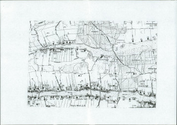
The barrow is located in the south-eastern part of the village, about 1 km in a straight line to the south of the built-up area of the village of Typin and the Typin to Tomaszów Lubelski road and about 400 m to the south of the eastern boundary of the built-up area of Kolonia Typin (part of the village of Typin). The mound is situated at the top of a hump which is 249 above sea level, on a field used for agricultural purposes and in the immediate vicinity of an unpaved road. The barrow is clearly discernible in the surrounding terrain. Currently, it is approx. 1.5 m in height and 25 m in diameter. Based on the findings from these reconnaissance carried out in 1973, Andrzej Hunicz determined that it was approx. 3 m in height and approx. 40 m in diameter. It is a grave containing a single burial (or burials) corresponding to the Corded Ware Culture

History
The mound is dated to the late Neolithic period and should be associated with the Corded Ware culture. Until the mid-20th century, the barrow was in a good state of preservation. Currently, intensive farming by which the whole site has been affected leads to progressive degradation and poses a serious threat to the state of preservation of the structure.
Condition and results of archaeological research
The site has not been subject to excavations. The location and height plan of the site was drawn up by Jan Niedźwiedź and A. Medak in 1989. Surface surveys of the site within the framework of the ‘Archaeological Picture of Poland’ project were carried out by J. Buszewicz, R. Pomarański and J. Waszkiewicz in 1988.
Limited access to the monument. Viewing of the barrow is only possible by arrangement with the owner of the field. The burial mound is easily visible from the unpaved road open to general public.
Compiled by Ewa Prusicka-Kołcon, Regional Branch of the National Heritage Board of Poland in Lublin, 24.06.2014.
Bibliography
-
Machnik J., Bagińska J., Koman W., Neolityczne kurhany na Grzędzie Sokalskiej w świetle badań archeologicznych w latach 1988-2006, Kraków 2009.
Category: sepulchral site
Protection: Register of monuments, Monuments records
Inspire id: PL.1.9.ZIPOZ.NID_A_06_AR.3325, PL.1.9.ZIPOZ.NID_E_06_AR.2211834
Browse documents
6 documents
-
KEZA
2KEZA
-
mapa obszaru AZP 1:25 000
1mapa obszaru AZP 1:25 000
-
mapa inna
1mapa inna
-
sprawozdanie z badań
1sprawozdanie z badań
-
spis stanowisk wg numerów na obszarze
3spis stanowisk wg numerów na obszarze
-
spis stanowisk wg chronologii i funkcji
1spis stanowisk wg chronologii i funkcji


Objects in this area
10 objects
-
Add to favorites Go to the subpage of the object ślad osadniczy, st. 13
Nedeżówślad osadniczy, st. 13
-
Add to favorites Go to the subpage of the object ślad osadniczy, st. 10
Nedeżówślad osadniczy, st. 10
10Show all