Hillfort - Zabytek.pl
Address
Brudzeń Duży
Location
woj. mazowieckie, pow. płocki, gm. Brudzeń Duży
It is a part of the cultural landscape that was not modified.
Location and description
The ring fort is situated in a forest, at a distance of approx. one kilometre to the east of the southern end of the village. It is located on the edge of a high and very steep hill at the confluence of the valley of the Skrwa river and its nameless tributary.
The triangular shape of the settlement in Brudzeń is the result of adapting to the local landforms. The dimensions of the structure at its widest point are 125 x 90 m. A double line of ramparts on the west side separates the maidan from the rest of the high plain. The inner rampart is up to 6 m high and about 20 m wide at the base. The outer one which is located about 35 m away is more damaged by water. It is currently about 1.5 m high and about 15 m wide. Its funnel-shaped depression and bank at the eastern end of the site were formed most likely during the First World War. The whole area of the site is overgrown with a forest.
-
 Brudzeń Duży, ring fort, view to the north of the valley of the Skrwa river from the rampart, condition as at 23-11-2010, photo: Agata Byszewska.
 -
Brudzeń Duży, ring fort, view of the northern slope of the rampart, condition as at 23-11-2010, photo: Agata Byszewska.
-
Brudzeń Duży, ring fort, view of the rampart from the west, condition as at 23-11-2010, photo: Agata Byszewska.
-
Brudzeń Duży, ring fort, view of the maidan from the west, condition as at 23-11-2010, photo: Agata Byszewska.
History
The period of use of the site in the Early Middle Ages was divided into two phases, the first of which dates back to the 8th century and the second to the 10th-11th century.
Condition and results of archaeological research
The ring fort in Brudzeń Duży was known as early as the 19th century. Inventory research and verifications of the ring fort were carried out in 1957. Survey excavations under the supervision of Wojciech Szymański were conducted ten years later. In 1982, the site was registered during the surface surveys carried out within the framework of the “Archaeological Picture of Poland” project.
Research excavations were opened at the foot of the inner rampart and on the maidan. Scarcely identifiable traces of settlement were discovered only in the immediate vicinity of the rampart. Archeological investigations revealed a pavement built of fieldstones, which was preserved in the area covering approx. 3 m2, and individual fragments of pottery from an earlier phase of functioning of the fortified settlement. In the northern part, in a sunken area interpreted by Wojciech Szymański as the remains of the former gate entrance, investigations revealed a cultural layer formed during the period of use of the structure, including fragments of pottery dating back to the 10th-11th century.
The ring fort is open to visitors. It is situated in the area of the Brudzeń Landscape Part in the northern part of the walking tourist trail known as the Bolesław III Wrymouth’s Route running from Płock to Sierpc (red route).
Compiled by Agnieszka Oniszczuk, National Heritage Board of Poland, 10.10.2014 r.
Bibliography
- Szymański W., Brudzeń, pow. Płock, „Informator Archeologiczny”, Badania 1967 r., 1968, p. 198.
- Szymański W., Dalsze badania sondażowe w powiecie płockim, „Sprawozdania Archeologiczne”, 1969, vol. XXI, pp. 177-178.
- Szymański W., Brudzeń Duży, gmina loco (d. pow. Płock), woj. płockie, [in:] Grodziska Mazowsza i Podlasia (w granicach dawnego województwa warszawskiego), collective work, Wrocław -Warszawa -Kraków -Gdańsk 1976, p. 27.
Category: hillfort
Protection: Register of monuments, Monuments records
Inspire id: PL.1.9.ZIPOZ.NID_A_14_AR.42227, PL.1.9.ZIPOZ.NID_E_14_AR.1298787
Browse documents
7 documents
-
KEZA
2KEZA
-
mapa obszaru AZP 1:25 000
1mapa obszaru AZP 1:25 000
-
mapa inna
2mapa inna
-
spis stanowisk inny
2spis stanowisk inny
-
inna
2inna
-
rysunek/fotografia zabytków ruchomych
5rysunek/fotografia zabytków ruchomych
-
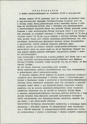
sprawozdanie z badań
2sprawozdanie z badań